
The context: a new stage for the Orinoco Oil Belt
The recent reform of the Organic Hydrocarbons Law and its regulations opened new forms of private sector participation, such as Hydrocarbon Productive Participation Contracts (CCPH), in association with Petróleos de Venezuela, S.A. (PDVSA) and its joint ventures. One of the main objectives of this stage is to recover deferred production: the crude oil that is no longer produced because wells are shut in or operating below their potential.
In the oil industry, wells are classified according to their status: category 1, active and producing; category 2, inactive but recoverable with minor work; and category 3, inactive wells that need major work to return to production. Bringing category 2 and 3 wells back into production is one of the fastest ways to increase production, but to do so, the status of each well and facility must be accurately determined.
What is at stake:
Before committing capital, a company considering investing in an oil field needs reliable and timely information. With an incomplete assessment, the business plan may underestimate rehabilitation costs, overlook operational, environmental, or legal risks, or overestimate recoverable production. In assets that have had little or no maintenance for years, an error at this stage can cost a lot of money and delay the project for a long time.
The challenge:
The client needed to know the actual status of its assets throughout the value chain: in production (upstream), the location and physical integrity of 54 producing, injector, and exploratory wells, among others; and in transportation and processing (midstream), the layout and integrity of 108 km of pipelines, three flow and pumping stations, crude oil, gas, and water treatment plants, and a storage center with tank farms and terminals with a capacity of 500,000 barrels.
Then, all that information had to be translated into work quantities, costs, risks, and economic scenarios, which would form the technical basis of the business plan.
The solution: a multidisciplinary team and cutting-edge technology
A team of 15 specialists from Soraga Multiservicios C.A. —geologists, petroleum, civil, and mechanical engineers, cost estimators, an economist, lawyers, and health, safety, quality, and environmental specialists— conducted a complete survey of the technical, economic, legal, and environmental information. Thus, the result was not just a technical inventory, but a comprehensive business assessment.
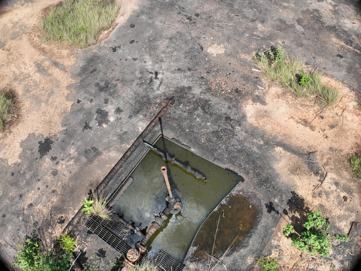
Technology was key for the client to see the actual conditions of each asset in full detail without having to be on site. Drones made it possible, in a short time and with high precision, to conduct topographic and photographic surveys of large areas. From those images, and using specialized software, we generated digital twins: three-dimensional models of the facilities that the client can explore, measure, and review in detail from their computer. This way, decision-makers see the actual status of wells, pipelines, and equipment without traveling to the field, and compare scenarios using the same information.
Technology did not replace field experience, but rather leveraged it: hydrocarbon specialists verified every piece of data collected from the air on the ground.
The execution:
The field survey lasted a month and a half, with eight-hour shifts, five days a week. Six people participated in the field: technical assessors, drone pilots, and petroleum professionals from different disciplines, for an approximate total of 1,560 man-hours. Then, the processing team spent a month integrating the information, building the digital twins, and preparing the results. All the work was done under safety, quality, and environmental standards, with supervision from specialists in each area, and without any accidents.
The results:
The client received a complete and verifiable overview of its assets: the status of each well and facility, the estimated quantities and costs for their recovery, the technical, legal, and environmental risks, and the digital twins to consult any detail whenever needed.
With that basis, the client was able to quantify its investment and develop the business plan to reactivate category 2 and 3 wells and recover deferred production.
Commitment to the environment
This project adds to our track record in the assessment and remediation of environmental liabilities from the oil industry in different regions of the country. In those projects, we recover crude oil accumulated in pits, condition it for use and sale, and rehabilitate the affected areas to return them to neighboring communities. To date, we have recovered more than 3 million barrels.
Do you need to know the actual status of your assets before investing? Let's talk.